Interactive Maps
Location experiences, search, and real-time data layers that feel instant.
What we do
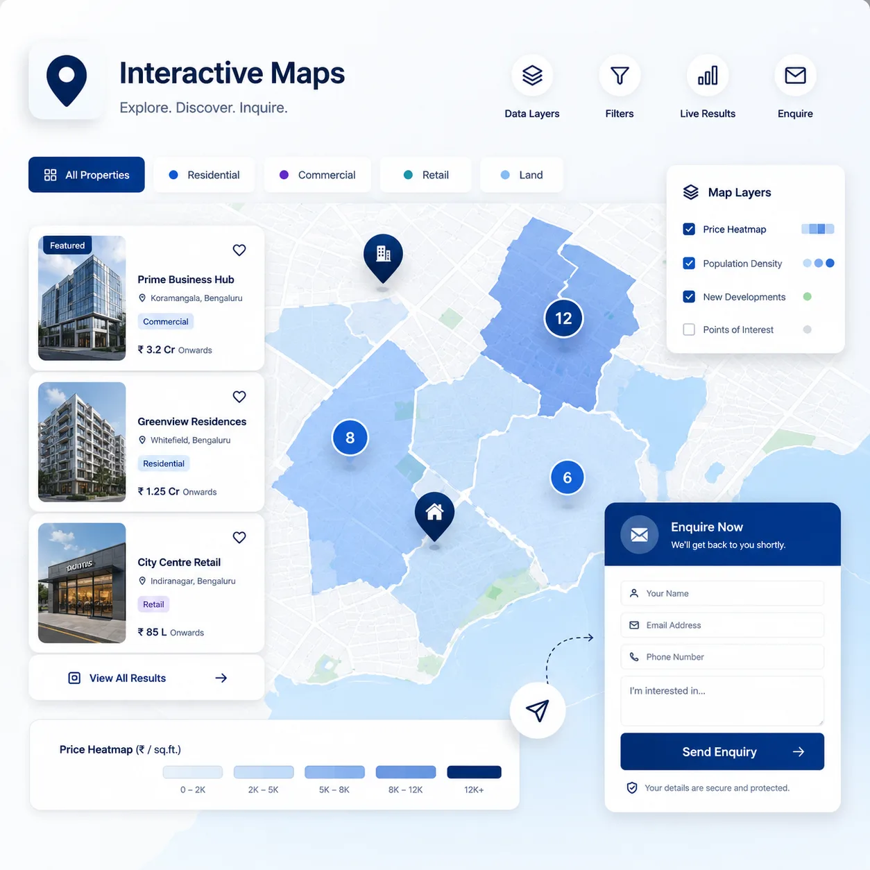
When your data lives in the real world, a list isn’t enough. We build interactive map experiences where users filter, compare, and explore by location - with clustering, custom markers, and search that stays instant even with thousands of points.
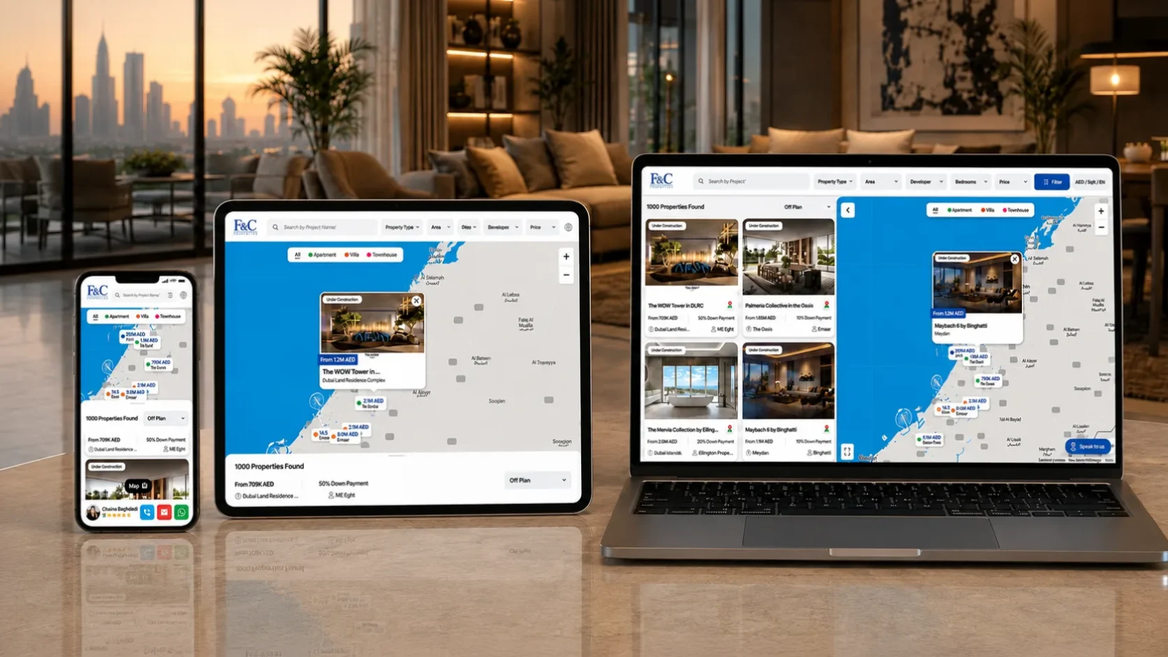
From real estate discovery to spatial editors, we handle the hard parts: performance at scale, filtering that feels immediate, and inquiry flows that turn browsing into leads.
- Real estate, travel, and marketplace products with location at their core
- Businesses that need store locators or coverage maps that convert
- Teams building spatial tools where accuracy and interaction really matter
Everything you get, spelled out.
Interactive map UI
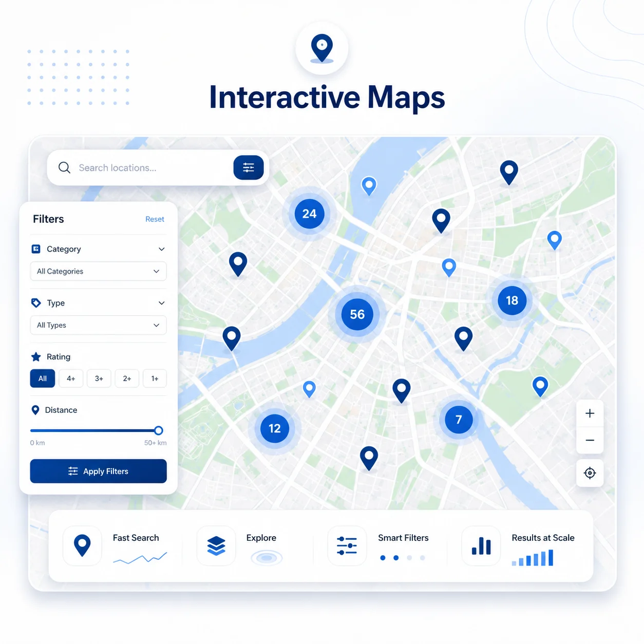
Pan, zoom, cluster, and custom markers tuned for your data and brand.
Filtering & search
Type, area, price, and attribute filters that update results instantly.
Data layers
Real-time or static overlays visualizing exactly what your users need.
Performance at scale
Thousands of points handled smoothly with clustering and lazy loading.
Localization
Multi-language, currency, and unit switching for international audiences.
Inquiry flows
Register-interest, contact-agent, and enquiry paths built into the experience.
A clear path from
brief to launch.
- 01
Define the data
We map your sources, attributes, and the way users need to filter and explore.
- 02
Design the experience
Map interactions, filters, and detail views designed around real intent.
- 03
Build & optimize
We implement the map, tune performance at scale, and wire in inquiry flows.
- 04
Launch & refine
We ship, watch how people explore, and sharpen the experience with data.
Interactive Maps, answered.
We pick per project - Google Maps, Mapbox, or a custom canvas - based on your data, budget, and interaction needs.
Yes. Clustering, viewport loading, and tuned rendering keep large datasets fast and smooth.
That’s usually the core of it - instant filtering by type, area, price, and any attribute your data supports.
Got data that belongs on a map?
Let’s turn it into an experience people explore - and enquire through.